Nova Scotia is now under province‑wide snowfall warnings as a powerful Alberta Clipper moves toward the region, bringing the potential for heavy, wet snow, dangerous travel, and scattered power outages from Wednesday into Thursday.
Environment Canada expanded its alerts Tuesday evening, with every county in Nova Scotia now included in snowfall warnings. The system is expected to deliver 15 to 20 centimetres of snow across most of the province, with localized amounts potentially reaching 20 to 30 centimetres, particularly along the eastern Atlantic coastline where heavier bands may develop.
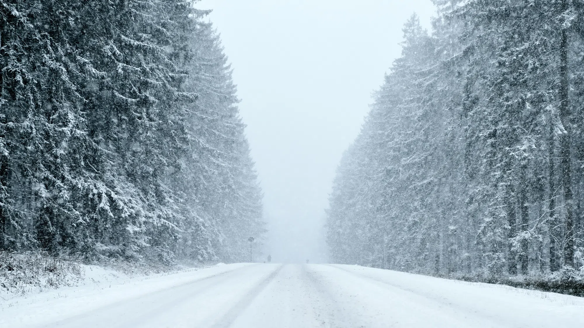
Forecasters warn that the snow will be compact and heavy, making roads and sidewalks difficult to navigate. Commuters should expect significant impacts to both morning and evening rush hours. The weight of the snow could also lead to downed branches and isolated power outages.
Snow will build into mainland Nova Scotia Wednesday morning, spreading eastward throughout the day. Cape Breton is expected to see its heaviest snowfall Wednesday evening into early Thursday.
While snowfall warnings now blanket all regions, the impacts will vary slightly by area:
- Most inland and coastal communities can expect 15–20 cm.
- Eastern shoreline and parts of Cape Breton may see 20–30 cm in the heaviest snow bands.
- Conditions may shift rapidly as temperatures approach the freezing mark, making the snow especially dense.
Neighbouring provinces will also see accumulating snow.
Environment Canada: Yellow warning - snowfall - in effect https://t.co/4sz4BBJLJP #NSAlert
— Nova Scotia Emergency Management (@NSEmergency) February 10, 2026


