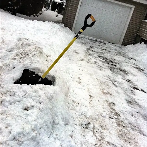
Another day, another storm.
Special weather statements were issued Tuesday morning for the southern, southeastern and central parts of New Brunswick with rain, freezing rain and snow expected to start on Wednesday morning and continue into Thursday.
We asked Environment Canada Meteorologist Jill Maepea how this system will compare with the one that blanketed the province in white on New Year’s Day.
“This one’s developing very last minute. There’s a lot of uncertainty with it. The last one, we saw a lot of freezing rain in the central areas. This one doesn’t look like as much. Rain will be confined to the Bay of Fundy coast. This system is looking more and more like just a snow event.”
As for how much snow will fall, Maepea says the highest amounts will be in the southeastern part of the province.
“Definitely up to 20 centimetres. It will be heavier and wetter snow. I don’t believe we saw that with the last system. It was much further north. We’re looking at the southern half of the province, basically, the Moncton area is really in the bull’s eye of this system,” Maepea stated.
She added that Fredericton could see five to 10 centimetres of snow.
The system is expected to move into the southwest early Wednesday morning as snow, but Maepea said for Grand Manan and along the Bay of Fundy it will be primarily rain, with up to 20 millimetres expected. The snow will advance eastward from there to the southeastern areas.
“The worst is definitely in southern New Brunswick,” Maepea stressed. “It’s a very complex and interesting system.”
It will bring messy conditions, with all of the mixed precipitation.
It’s expected to wrap up by Thursday morning.


