Bork / Depositphotos.com
Nova Scotia is preparing for the coldest conditions so far this season as Arctic air pushes into the region overnight, bringing sharp temperature drops, dangerous wind chills and pockets of new snowfall.
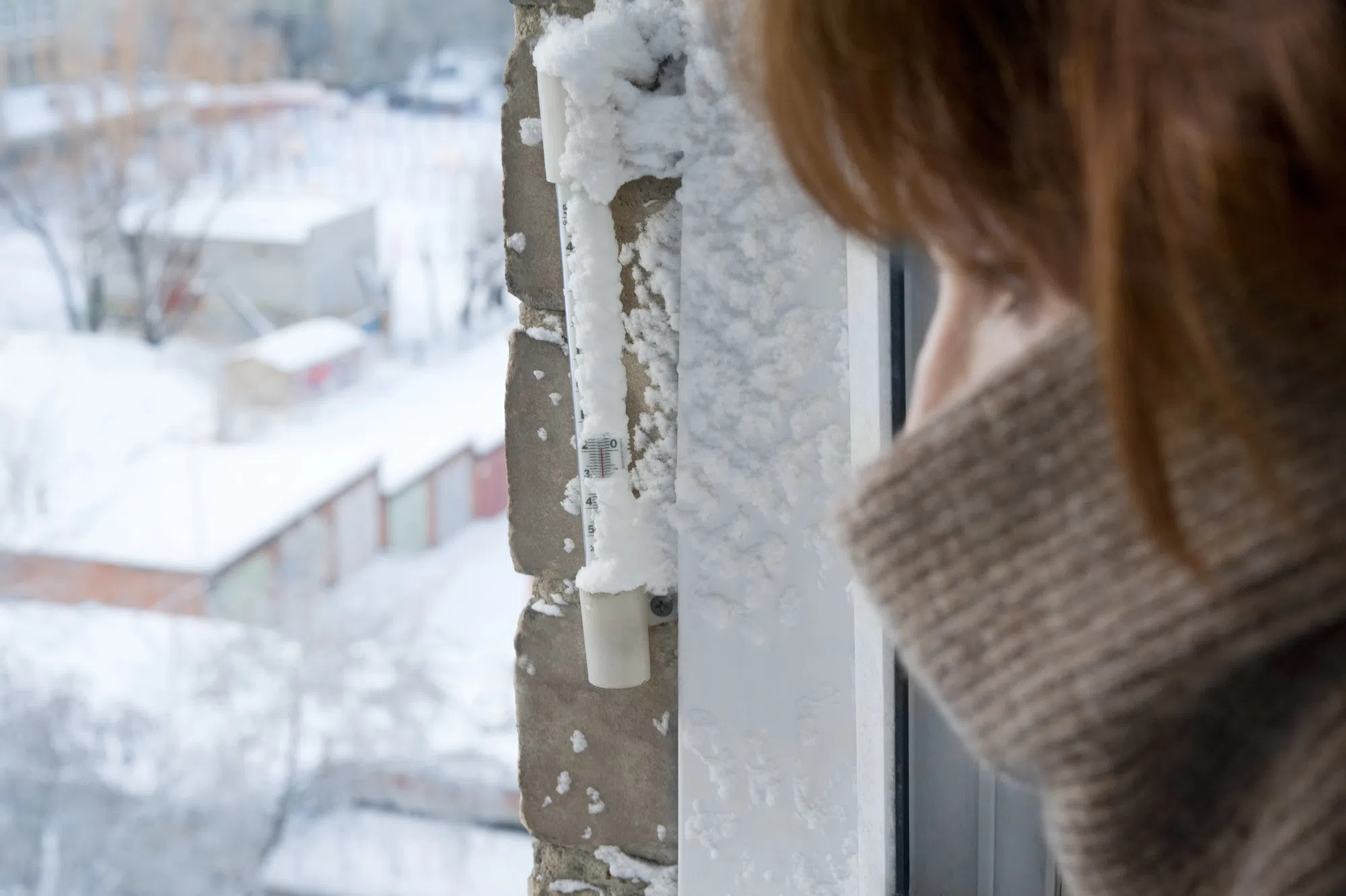
Temperatures across the province are expected to fall into the single-digit negatives tonight.
When combined with strong winds, many areas will feel like minus 20 or colder.
Northern mainland communities and western Cape Breton are expected to see the harshest conditions, where the combination of cold air and lingering moisture could produce up to 15 centimetres of snow.
Elsewhere in the province, only light flurries are anticipated, with no significant accumulation expected.
The arrival of much colder air after several days of rain and mixed precipitation increases the risk of icy roads and sidewalks. Any standing water is likely to freeze quickly, creating potentially hazardous travel conditions into Friday morning.
Strong winds are also expected, with gusts reaching higher along parts of the Atlantic coast and eastern Cape Breton.
The rapid shift to freezing temperatures may also produce localized black ice and reduced visibility in blowing snow.
Nova Scotia Power says it has activated its Emergency Operations Centre ahead of the temperature drop. The centre coordinates crews across the province to respond to outages as they occur and will remain active through the cold snap. It is the utility’s first activation of the winter.
Environment Canada continues to monitor the system, and additional statements or warnings may be issued as conditions evolve.