chaoss / Depositphotos.com
Crews are working to safely restore power as wind, rain, and snow continue across the province. There may be a delay in some areas due to messy road conditions and the need for snow clearing for crews to safely travel throughout communities—we appreciate your understanding. 1/2 pic.twitter.com/nSRB3i00nZ
— Nova Scotia Power (@nspowerinc) December 3, 2025
Cancellations and closures
Tri-County Regional School Board:
• All schools in Digby County are closed due to unsafe road conditions.
• Schools in Yarmouth and Shelburne counties remain open.
• Progress conferences at Digby County schools are cancelled; schools will provide rescheduling details.
• Worksites remain open.
South Shore Regional Centre for Education:
• All schools in the Forest Heights Family of Schools are closed.
• Progress conferences cancelled with updates to come.
Chignecto Central Regional Centre for Education (Cumberland, Colchester, East Hants):
• All schools in Cumberland County, Colchester County, and the Municipality of East Hants are closed.
Cape Breton–Victoria Regional Centre for Education:
• All schools in the region are closed.
Nova Scotia Community College:
• NSCC campuses in Cumberland, Annapolis Valley, Amherst, Kingstec and Truro are closed.
What happens next
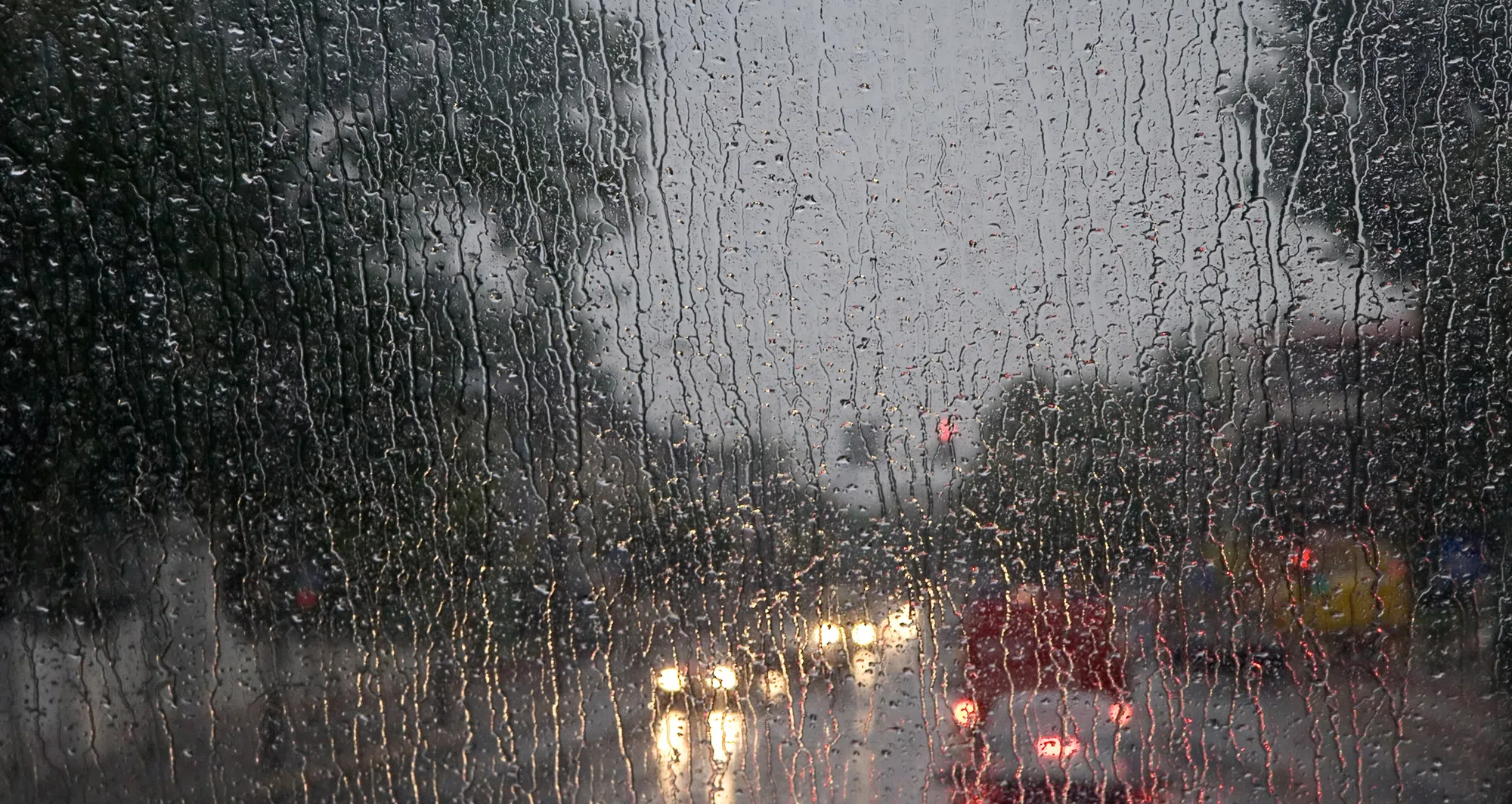
The storm will gradually move out of the province later today.
Conditions should begin improving by midday in the southwest, spreading across the mainland this afternoon and reaching Cape Breton later in the day. Some regions may see lingering flurries or showers behind the system, but the heaviest precipitation will taper off.
Public Works plows are out clearing 100 series highways as several areas of the province are dealing with a significant snowfall. Call 511 or visit https://t.co/bs7HF68qgk for the latest road conditions.
— Department of Public Works (@NS_PublicWorks) December 3, 2025
Also, give yourself plenty of travel time, and leave space for snowplows. pic.twitter.com/5i4AGmY4Lv
Active weather alerts (Wednesday morning)
Snowfall warnings
- Annapolis County
- Antigonish County
- Colchester County (Cobequid Bay, Truro area, and northern sections)
- Digby County
Wind warnings
- Eastern Cape Breton
Coastal flooding statement
- Southeastern Atlantic shoreline, including Halifax County and areas toward the South Shore
Special weather statements
- Much of central and eastern Nova Scotia, including Halifax Metro, Lunenburg County, Kings County, Pictou County and parts of Cape Breton


